
Algonquin Peak - Adirondack Mountains - New York
September 19th, 2015
With fall approaching and my uncle George's next Nepal trip only weeks away, him and his son Peter were itching to get in another hike in the Adirondacks like we had done back in 2013. Peter was keen on mixing in some kind of camping experience as well and we soon settled on doing Algonquin Peak (New York's second highest point) because of the camping facilities at the trailhead. We left Ottawa on the evening of the 18th and made it to our park and camp spot by around 8:30pm. Feeling somewhat disappointed with the crowded "wilderness" camp sites at Adirondack Loj, the friendly staff and cold beers helped ease us in to a relatively peaceful nights sleep nonetheless.
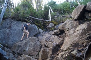
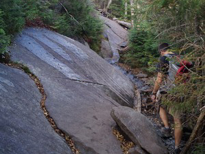
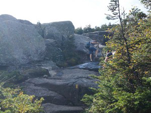
I knew going in that trying to do a hike in this area, at this time of year, on a weekend, would equal "crowds", but there weren't too many choices for us on such short notice and with few weekends available to us. By 7:30am we had packed up our gear and parked the car in the already near full lot at the trailhead. I was hoping that most of the hikers were probably heading for NY's highest peak (Mount Marcy) as opposed to our selected mountain, which was probably the case, but there were still plenty of others heading for Algonquin. All this to say, if you are looking for a more solitary hiking day, best to go on a weekday or later in the season, although this could lead to difficult hiking conditions if it gets cold and the path ices up. Algonquin Peak has some pretty steep rock sections that would be difficult and dangerous in icy conditions.
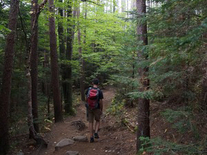
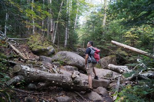
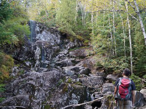
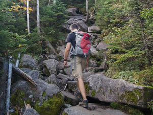
At an altitude of about 5,115 feet (1,559 m) and a round trip distance of close to 8 miles (12.8km), this seemed like it would be a relatively easy hike compared to the gruelling experience my wife and I had on Mount Marcy a few years back. I was mostly correct in my assumptions, though the steepness of the terrain in many spots added an extra dimension of challenge I hadn't expected. For the most part, this hike was pretty straight forward, but not one I would classify as easy. One needs to be prepared for the long, thigh burning, ascent only 30 minutes from the trailhead. Remember, Algonquin Peak is only 228 feet lower than Marcy, so what takes you 7 miles to ascend on Marcy takes only 3.8 on Algonquin. Hopefully you enjoy the feeling of stair climbing!
Heading up the long ascent was typical in most ways, only we did encounter more groups of people paused along the trail taking breathers. Everyone seemed very friendly and I was surprised to hear so much french being spoken by passerby's. Obviously these mountains attract a large portion of French Canadians (me among them). As I have noted on other treks where there were many other hikers present, I find the friendliness and sense of comraderie refreshing. It's such a rare thing living in a city to be passing by total strangers and saying a simple hello. Out there in the wilderness it seems people want to talk and bond more. I wonder why this is? Do we just want to share the experience together? Does the shared strain and exertion of the journey somehow make us more open to the people around us? Or is it a way to feel safer in a vulnerable environment? It's interesting to me because hiking a crowded and difficult trail such as this has a way of revealing parts of us we normally try and hide from one another. We sweat, we breath heavy, we show our conditioning and energy level. It can also unveil our weaknesses and limitations, our willpower and even our state of health to some extent. This kind of experience is consistent with my overall view of mountains being a place of divinity, healing and revelation. It seems there is always something to learn from each hike I do.
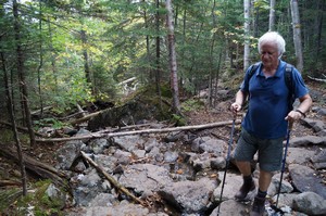
On the same note, as we were making our way up the mountain, George started talking about his experiences as a young man living in Peru. He spent much of his time exploring the Andes and living at altitude in Puno. One of the stories he talked about was the discovery of Juanita, the 550 year old mummified remains of a Peruvian girl found atop the 20,700 foot Mount Ampato in 1995. According to theories, as a gift to the mountain gods, it is believed she was placed within a stone shelter built at the top of the mountain and either starved/froze to death or was killed from a hit to the head. Based on analysis of her clothes, adornments and health, she most likely came from a noble Cuzco family.
I have to ask myself, does my love and sense of connection to mountains come from some deep ancestral memories where, as a species, mountains were revered and looked upon as powerful gods? Is there some part of me that still feels that when in the presence of the mountains? Clearly the story of Juanity (and many others just like it), attest to a time in our species history where man respected and feared mountains so deeply, they were willing to sacrifice their own children in hopes of gaining favor or security. In light of that ancient way of thinking, it almost feels like blasphemy the way I climb these mountains in such leisure.
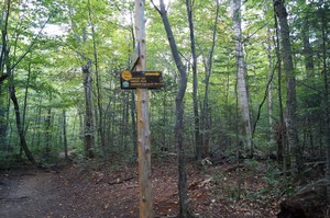
Back to the trail, by 10am we had made it to the fork in the trail that leads to either Algonquin or Wright Peaks. We took a short break here and talked to some fellows who were heading for Wright but had plans to do Algonquin and Iroquois all in one go. We would later see them on the way back down still pushing on to get to the top of Algonquin, which I'm sure they accomplished. Along the way we encountered a couple coming back down who told us they had hiked up the evening before and spent the night on the top of the mountain, which was something Peter thought would have been much more preferable to the night we spent in our park and camp spot. Not sure how safe I would have felt trying to climb Algonquin in the dark though, not to mention the rules for not camping above treeline.
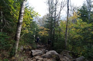
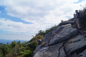
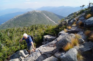
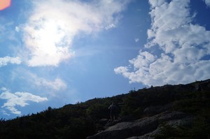
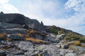
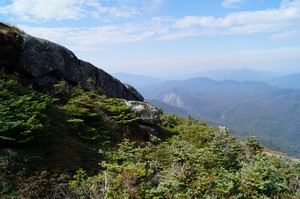
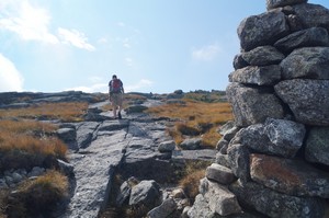
The rest of the way up was uneventful and just a plain slog up steep sections with an ever widening view of the surrounding peaks. Beautiful as it was, there were also more people to contend with the closer we got to the top. Nothing unmanageable, but still not the private kind of experience I enjoy most when on hikes, but so is life sometimes.
By 11am we were close to the summit and being warned by others who had already peaked that the wind was blowing very strongly at the top. As we made our way to the flat top of Algonquin, we were met by a young summit steward who explained to us the delicate nature of the plants in the alpine zone and to stick to the marked trails. We also found out from this young woman that her work involves hiking to the summit early each morning throughout the hiking season to offer assistance and information to the hikers. Quite the job, we thought, and imagined how great of shape one would get in doing this kind of job. You would have to have a very deep love for the mountains and hiking to agree to job like that, which certainly commands my respect.
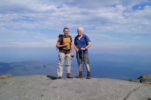
Finally standing at the summit with all the other hikers, the wind warnings were certainly not off base. It was an incredibly strong, cold, gusting wind that easily pushed you off balance and insisted on you leaving as soon as possible. As would be expected, the views were incredible, but there was a haze in the air that dulled the view of the distant mountains. We stayed at the top for all of ten minutes before being chased off by the 70mph + wind. We found a nook a little way down to take a break and have some lunch. Already we were discussing and imagining a great dinner back in Lake Placid (which, unfortunately, ended up being rather disappointing fare). Funny how food plays such a strong role in motivating us forward sometimes.
Not even noon yet, we were making the long and slow descent off of Algonquin Peak. Like the experiences on almost every other mountain I've climbed, the descent felt longer than it should. We always expect the descent to be much faster than the ascent, but I think the mental motivation we feel heading up alters our sense of time and the moment we start heading back down and feel anxious to end the hike, time feels much different. Don't get me wrong, this was no Mount Marcy descent mental battle, but the steepness and crowded trail made for slower going, and excessive joint stress.
Not sure how many hours it took to finally reach the flat section of the trail that forks at the Marcy trail, but we were relieved to get there. I think we were all feeling pretty tired at this point and we fell silent for the last mile or so back to the parking lot. In the end, we reached our car by 2:45pm, making it a 7 hour hike in total. Not too bad for the second highest peak in New York!
Information
Round trip distance from Adirondack Loj parking lot to Algonquin Peak: Approximately 8 miles (12.87 km)
Algonquin Peak elevation: 5,115 feet (1,559 m)
Elevation Gain from parking area to peak: 2,915 feet (888 m)
GPS Coordinates of Algonquin Peak: 44º 8'36.86"N; 73º 59'12.25"W (NAD83/WGS84)





















Comments