
Mount Mansfield - Cliff Trail - Vermont
June 26th, 2011

The journey begins
So here it was, already one year since hiking to the top of Mount Marcy. As any hiking fiend can imagine, I was getting a bit antsy for another hiking adventure to report on. Renee and I had pretty much settled on doing Camels Hump in Vermont long before I had any inkling that there would be an opportunity to hike Mount Mansfield as well. Like all outdoor plans, so much depends on weather and timing, and in this case the constant rain in the region altered most of our plans. Put off by the weather, it was decided we'd stay two nights in a hotel in Stowe instead of the planned camping trip in Little River State Park. So it came to be that Renee would spend a day relaxing at the hotel while I took the day to do what I love best... HIKE! And what better hike to go on than the highest mountain in Vermont, in the rain, all by my lonesome? This would be my second solo hike, and though there is no comparison to my first one (Pyramid Peak), this was still a fun little expedition for me.
My intention was to blaze as quickly up the mountain as I could so that I could return to the hotel and spend some time relaxing with Renee. With that in mind, I had chosen the shortest route possible (besides driving up the toll road). I wanted to go straight up the ski hill following the same route as the gondola, then connect with the Cliff Trail, take it up to the Long Trail and stroll the final half mile to the summit... and that is exactly what I did!
I arrived at the parking lot at the bottom of the ski hill at around 11am and started the slow uphill slog immediately. The low clouds and mists obscured all that would provide me with motivation. I could not see the peak, let alone the end of the gondola ride, which would have given me some idea of how far the Cliff trailhead was. Nope, this hike was going to have to be one of faith and determination.
The hardest part of this hike was that first hour heading straight up the ski hill. It took about 30 minutes for my body to finally settle in to a pace that didn't make my heart want to jump out of my chest. Yes, if I had known the hill a little better beforehand I would have taken the switchbacking gravel path that winds its way up the hill instead, but I wasn't sure at the time where it lead, so I stuck with the most direct path possible.

Doesn't look far, but sure felt far

Well that wasn't easy!

Happy to have music to motivate me
Though it began to rain at one point, I didn't let myself get discouraged. Some of the most beautiful moments I've had in nature have been during periods of rain or directly thereafter. I liked the solitude of the hike despite the gondolas passing directly overhead and I was happy to feel my body get past that initial resistance hump that always occurs in the beginning. I wasn't worried about getting lost and everything felt pretty straight forward. That is until I started to notice through the fading mist that the gondola path lead straight to a steep cliff face.
It was a bit of a concern from that vantage point about how I would get to the top, but reasoned there would have to be connector ski trails to this hill further up. Sure enough there were clearings to the left and right of the cliff and even though I had it in my mind that the Cliff trailhead would be on the right side of the gondola top, I decided to head left because it looked easier to traverse.

Dead end?

Path to the left

Signs that didn't help much
I followed this left side clearing, which was now part of the switchbacking gravel trail and followed it up a steep embankment. Soon I came across a family of five standing near an opening in the tree line to the left. It turned out to be a trail and they asked if I knew anything about it. I told them I was looking for the Cliff Trail and they pointed to the tipped over sign post at the opening... Bingo! What luck that was. I gave them all the details I had about the Cliff Trail and we all headed up the path.

Heading up the gravel trail

Clouds and rain

Lucky trailhead find
One of the reasons Renee didn't join me on this hike was because of what I had read about the Cliff Trail. Supposedly it had some steep scrambling and bouldering sections, and with the rain and wetness it could pose a danger if one is not too sure footed. So with that in the back of my head I followed the trail up with caution. Turns out it was all pretty straight forward, in my opinion anyway. There was only one small section that some hand holds had been installed to help with the bouldering. Yes, you could hurt yourself in this section if you slipped badly, but we're not talking cliff edges here. There is no major exposure to deal with. My main concern when I came to this section was the slipperiness of the wet rocks and the fact that a family with small children were waiting for me to complete the section at the top, so it felt a bit dicey trying to get by them. Other than that, I think most people with some hiking/bouldering experience can easily manage this trail.
Nice section of the Cliff Trail

Between the rocks

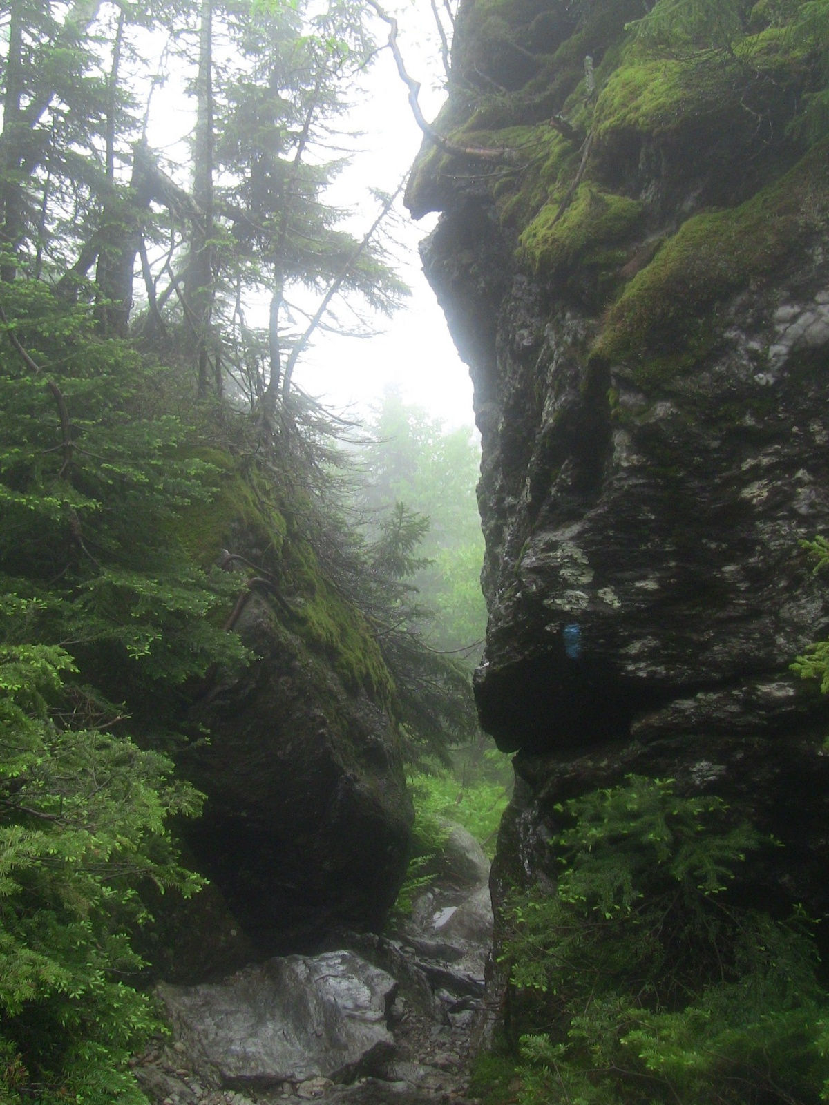
Arriving at the cliff wall

Beginning of bouldering section

Most challenging part of the trail

Helpful hand holds
After the bouldering section it's only a little further before you reach the Long Trail junction on the ridge top. I was surprised at how short the Cliff Trail actually was, having anticipated a much longer hike. So I was pleasantly surprised to suddenly find myself on the ridge so quickly and heading the final half mile to the summit only an hour and half in to the hike.

Watery section on Cliff Trail

Approaching the ridge

Reaching the Long Trail junction

Just follow the white lines

Easy going

Some scrambling with others
I can't even imagine what the views would have been like at this point if it wasn't for the cloud cover. Supposedly one can see Mount Marcy to the west and Mount Washington to the east on a clear day. Nothing like that for us on this day though. The wind was blowing stronger along the ridge sending the mist wisping about all around me. It was really quite surreal and beautiful, yet because of the lack of views it never really felt like I could get a sense of the mountain. All I had were my immediate surroundings and so the whole thing felt so much more like a physical experience than a visual one.

Alpine vegetation

Stay on trail

Final hump
By the time I reached the peak with a bunch of other determined hikers, I didn't feel that same sense of accomplishment I normally would. To be denied the grand views from the summit seemed to minimize the effort in some ways. There was nothing to measure against. The only real proof that I was even at the summit was the geological survey marker embedded in the rock. I took my summit photos as per custom, but knew there wasn't much to show. Don't want to sound like I'm discouraging anyone from climbing this mountain, it's just the first time I've ever summited a mountain that left me with no views to take in and so I felt like something was missing from the experience. At the same time though, I could appreciate the dream like qualities of being on a misty mountain top.

View from the misty top

Mount Mansfield marker

Summit photo... happy nonetheless
Spending only a few minutes at the top, by 12:45pm I decided to begin my journey back down the same way I came. Though it wasn't a physically gruelling hike, the wet ground made for more cautious hiking, especially when it came to the Cliff Trail. Many times I had to use my hands to move with a low profile. It was the only way to keep from slipping on some of the more slippery and smooth rocks. All went smoothly though and I was back at the parking lot 2 hours after leaving the summit. All in all, a completely successful and unique experience on Vermont's highest peak.

Cliff wall shrouded in fog

Dreamlike environment

View through the clouds
Information
Distance: Approximately 4 miles (6-7km) round trip
Time: 4 hours
Elevation: 4,393 feet (1339m)
Elevation Gain (starting from bottom of gondola): 2,874 feet (876m)
GPS Coordinates:
Mount Mansfield summit: 44º 32' 38.21" N; 72º 48' 51.52" W
Beginning of Cliff Trail: 44º 32' 12.67" N; 72º 48' 51.92" W
Top of Cliff Trail: 44º 32' 22.16" N; 72º 49' 1.04" W
Comments